


Live hurricane cameras offer an unprecedented, real-time window into the most powerful storms on Earth. This blog explores the sophisticated technology behind these storm-hardened webcams and provides a essential guide to the most reliable sources for live feeds, from official NOAA buoys to local traffic cameras. Understand how to use this powerful tool for safety and awareness, learn to interpret what you're seeing, and discover the critical role these streams play in scientific research and public education, all while emphasizing that their primary purpose is for remote, safe observation.
Introduction
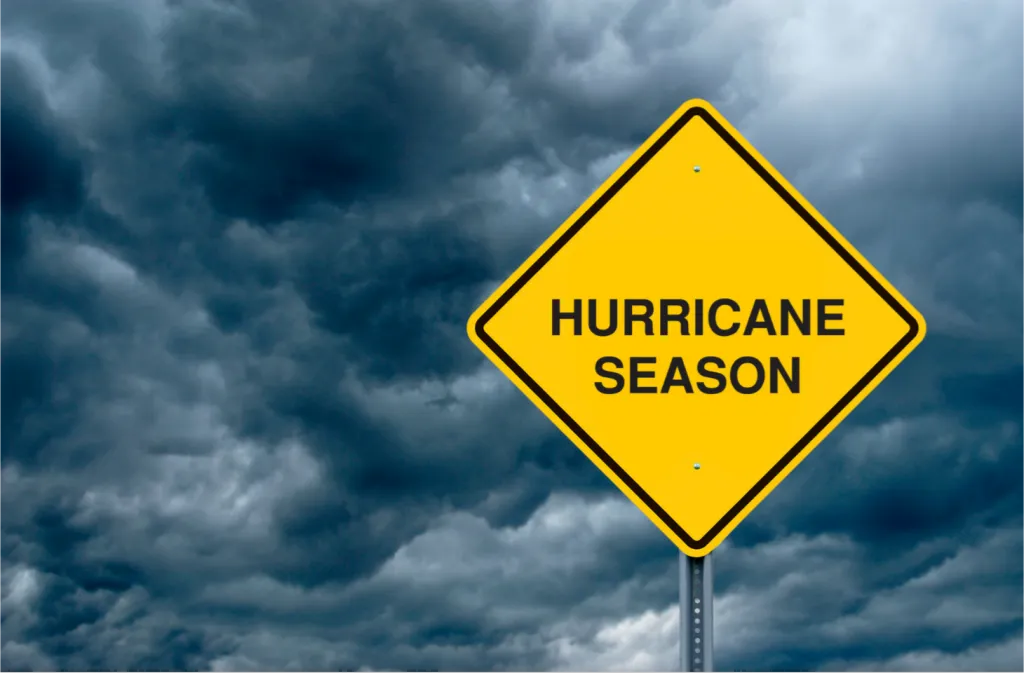
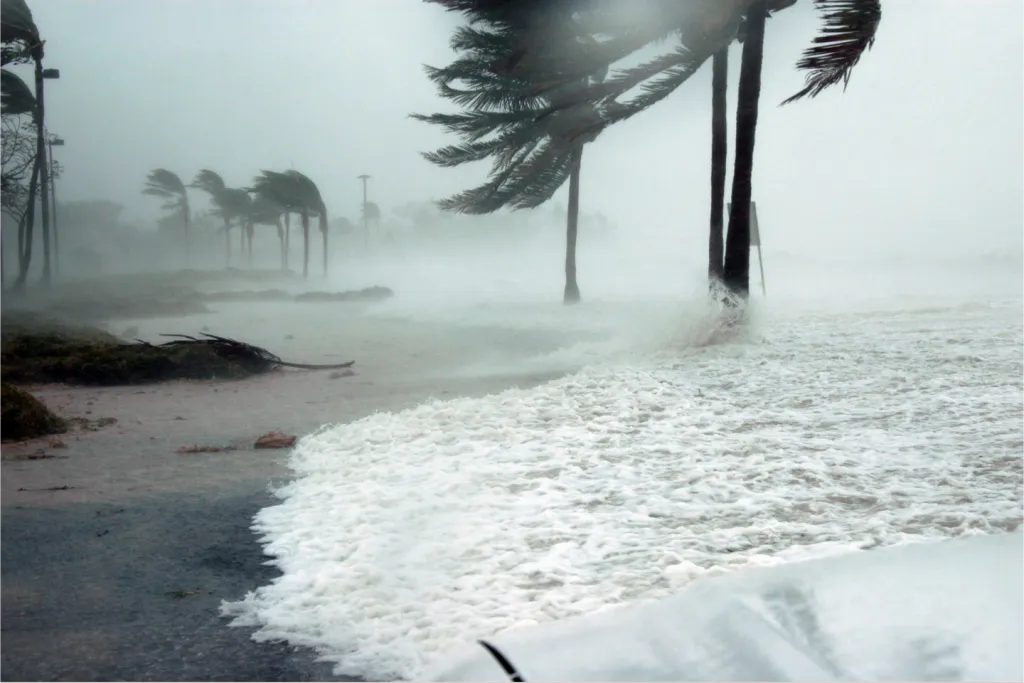
The raw, untamable power of a hurricane has captivated and terrified humanity for centuries. In 2023 alone, the Atlantic basin witnessed 20 named storms, 7 of which became hurricanes, causing over $3 billion in aggregate damage. While we've historically relied on radar imagery and meteorological models to track these beasts, a new technology has given us a front-row seat to their devastating power without the life-threatening risk: the live hurricane camera. These hardened, real-time streams have revolutionized how we perceive, understand, and prepare for these monumental storms. They transform abstract forecast cones and wind speed probabilities into tangible, visceral reality. This isn't just watching the weather; it's witnessing nature's most intense drama unfold from the ultimate safe distance.
What Are Live Hurricane Cams and How Do They Work?
More Than Just a Webcam
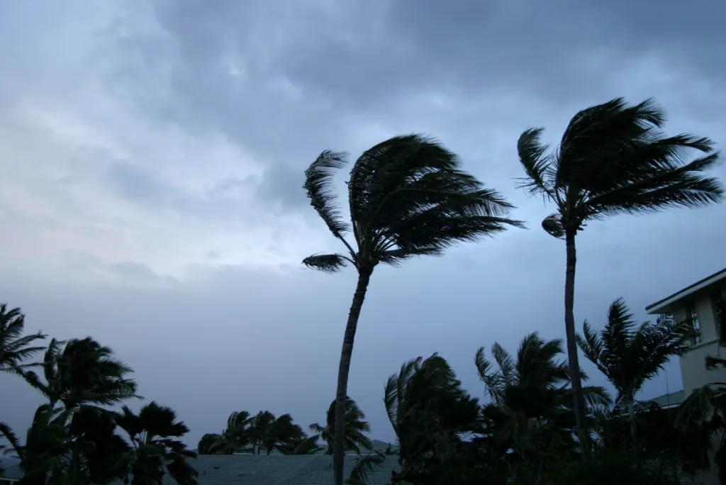
Forget the grainy webcam on your local news website. A dedicated hurricane live cam is a piece of serious engineering. These are not your average devices; they are built to withstand wind speeds exceeding 150+ mph, driving rain, and flying debris. They are strategically placed on sturdy structures like government buildings, piers, or dedicated towers in vulnerable coastal areas precisely because they are designed to survive the very event they are broadcasting.
The Technology Behind the Stream
The resilience of a hurricane webcam is matched by its sophisticated support system. They are typically housed in weatherproof and impact-resistant domes. Power is maintained through redundant sources, often a combination of hardened grid connections, backup generators, and sometimes even solar panels with battery banks. The most critical link is the data connection. While fiber optics are common, the most reliable feeds often use satellite backhaul, ensuring the stream continues even when local internet infrastructure is washed away or knocked offline.
Top Places to Find Live Hurricane Webcam Feeds
When a storm is approaching, knowing where to look is key. Here are the most reliable sources.
Official Monitoring and Research Organizations
The National Oceanic and Atmospheric Administration (NOAA)
NOAA is the gold standard. Their network includes cameras on data buoys far out at sea and C-MAN (Coastal-Marine Automated Network) stations along the coast, providing critical scientific data alongside the visual feed.
The US Geological Survey (USGS)
The USGS deploys rapid-deployment cameras to measure storm surge and coastal erosion. These cameras are essential for understanding the impact on shorelines and are a primary source for real-time flooding data.
Popular Weather and Media Networks
The Weather Channel & Local Affiliates
During major events, networks like The Weather Channel aggregate feeds from dozens of sources, creating a mosaic of perspectives from across the storm’s path. Local affiliate stations are invaluable for hyper-specific views of your area of concern.
Explore.org & EarthCam
These commercial aggregators host thousands of public webcams. They often create curated "Storm Watch" pages, pulling feeds from beaches, piers, and cities directly in a hurricane's projected path.
Community-Driven and Local Government Feeds
Traffic Departments (DOT Cams)
State Department of Transportation traffic cameras are a hidden gem for storm watchers. They offer countless views of bridges, causeways, and coastal highways, showing real-time conditions and the onset of flooding.
Local News Stations
For the most granular view, local news websites are unbeatable. They often host feeds from their own cameras and partner with local businesses to provide a community-wide network of hurricane live cams.
How to Use Hurricane Camera Feeds Effectively
For Public Awareness and Safety
Understanding Storm Impact
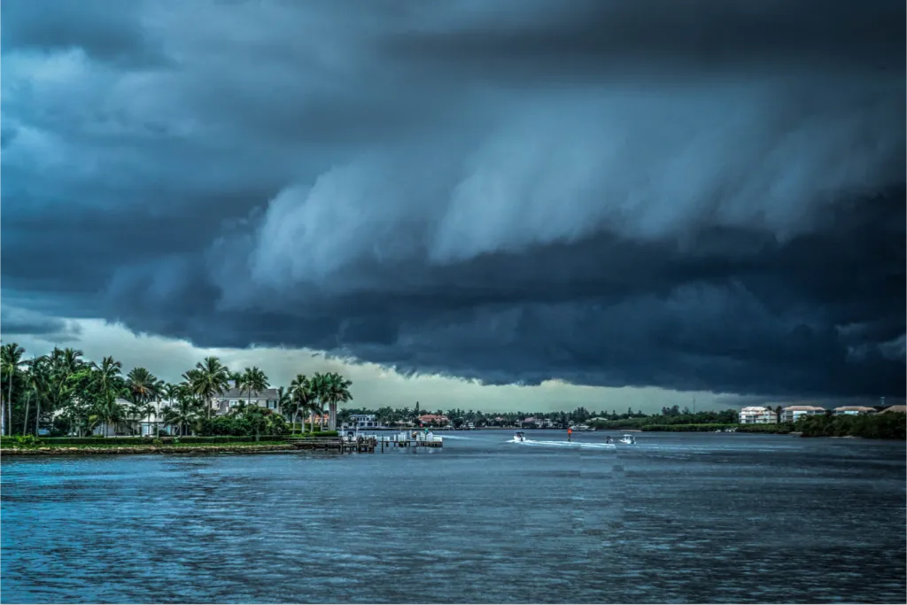
A forecast calling for "catastrophic storm surge" is one thing. Seeing a parking lot you recognize turn into a raging ocean drive the point home powerfully. These feeds make the danger real, reinforcing the urgency of evacuation orders.
The "Do Not Try This" Warning
This cannot be overstated: Live hurricane cameras are for observation only. They are operated by professionals or are placed in secure locations. Never use a calming feed from one location to assume it's safe in another or to justify ignoring a mandatory evacuation order. Your safety cannot be guaranteed by a webcam.
For Weather Enthusiasts and Storm Chasers
Tracking Real-Time Development
Enthusiasts can use multiple feeds to track the structure of the storm. Watching the eye wall approach, observing the wind shift as the center passes, and noting the intensity of rain bands provides a dynamic understanding no single radar image can.
Citizen Science
Alert viewers can sometimes contribute valuable observations, such as reporting visible damage, power flashes (transformer explosions), or the exact timing of water rise to official weather services via social media, adding ground-truth to the models.
Types of cameras used
The hardware behind these streams is specifically engineered for extreme weather. A prime example is a ruggedized, all-in-one PTZ camera like the AXIS F41. This type of camera boasts an IP66/IP6K9K rating for complete protection against dust and powerful water jets, and an IK10+ rating to withstand impacts from flying debris. Crucially, it often features a built-in wiper and washer system to clear its lens of salt spray and rain, ensuring a view remains visible throughout the storm's onslaught.
The Pros and Cons of Watching a Hurricane Live Cam
The Advantages: Unfiltered Reality and Education
The primary advantage is unfiltered access. It’s raw, unedited reality. This is immensely powerful for education, showing students and the public the true effects of a hurricane. It also builds empathy and understanding for those experiencing the storm, making us more likely to support relief efforts.
The Limitations and Things to Keep in Mind
Feed Reliability
If a camera goes black, it doesn't mean the storm isn't happening—it often means the storm is happening exactly as forecasted. Expect feeds to cut out due to power, wind damage, or lost connectivity.
Limited Perspective
A camera on a sturdy concrete building may show less damage than a camera in a residential area. It only shows one tiny slice of a massive storm system.
The "Wait for It" Lull
Hurricanes have periods of intense wind and rain followed by eerie lulls, especially if the eye passes over. A viewer tuning in during a lull might get a false sense of security.
FAQs: Your Hurricane Camera Questions Answered
Q: Why do the cameras sometimes look blurry or shaky?
A: The cameras are literally being pummeled by hurricane-force winds and rain. Water on the lens housing and the physical vibration of the structure it's mounted on cause this. It’s a sign of just how intense the conditions are.
Q: Is it legal to broadcast these feeds on my own website or stream?
A: Generally, no. Most feeds, especially from government sources like DOTs, are public domain. However, feeds from commercial networks (like The Weather Channel or local news) are copyrighted. Always check the source's terms of use before rebroadcasting.
Q: The feed is down! Where else can I look?
A: Have a list of multiple sources ready. If one camera fails, move to the next closest one. Rely on official National Hurricane Center updates for the big picture and use cameras for specific location context.
Q: Can these cameras predict where the hurricane will go?
A: No. They are observational tools, not predictive models. They show what is happening right now in a specific location. Forecasts are created by supercomputers analyzing vast amounts of atmospheric data.
Beyond the Spectacle: The Serious Purpose of Hurricane Cams
While fascinating for the public, these cameras serve a critical scientific and safety mission. Meteorologists use the visual confirmation to verify forecasts of storm surge height, wind field structure, and the timing of the eye wall’s arrival. For engineers and researchers, this footage is invaluable for studying building performance during extreme wind events, measuring coastal erosion in real-time, and improving infrastructure resilience for future storms.
Conclusion: A Powerful Tool for a Digital Age
Live hurricane cameras are a stunning achievement, merging technology with a primal need to witness nature's power. They demystify complex weather events, provide crucial real-time data, and serve as a sobering reminder of the importance of preparation. As the climate changes and hurricane intensity remains a top concern, these digital sentinels will only become more vital. Use them to learn, to understand, and to stay aware. But always remember: the most important view is from a place of safety, far from the storm’s path.
Bookmark this page for the next storm season and follow the organizations linked above. Stay safe, stay informed, and remember: the best view of a hurricane is always from a safe distance.